


 24/7 Emergency Service
CLOUDS
9/4/2019 (Permalink)
 THERE IS ALL KINDS OF CLOUDS
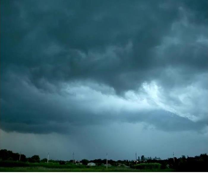
Did you know there are different kinds of clouds that can deliver rain and snow, as well as thunderheads that can produce lightning and heavy precipitation?
Rain/Snow
Stratus clouds are low to mid-level clouds that develop into horizontal, flat formations, and stratus clouds can appear dark and dense or white and puffy. Storm fronts are often preceded or followed by stratus cloud formations carrying precipitation as rain or snow. Because temperatures are warmer closer to Earth and cooler higher up in the atmosphere, low-hanging stratus clouds generally bring rain while higher stratus clouds are associated with snow.
Thunderheads
Cumulus clouds are dense and puffy vertical cloud formations that extend as high as 15,000 meters (50,000 feet) into the atmosphere. Although cumulus clouds are common on sunny, fair-weather days, they earn the moniker of thunderheads because of their tendency to produce thunderstorms. A cumulus cloud becomes a cumulonimbus cloud capable of severe thunderstorms when sufficient heat, updraft and moisture combine in the cloud to produce lightning, thunder and heavy rains.
The next time you see cloud formations in the sky, see if you can figure out what kind it is.